Plan
See the green route and the fast one, side by side
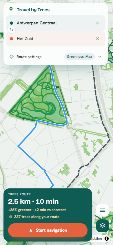
The green route draws in teal, the fastest route as a grey dashed line. Distance and time sit next to both, so you can pick.
Type a start and a destination. Travel by Trees finds a route that stays near the city’s parks, trees, and waterways, and shows how much greener it is than the fast way before you ride.
Free · Built for Antwerp · No account, no app to install
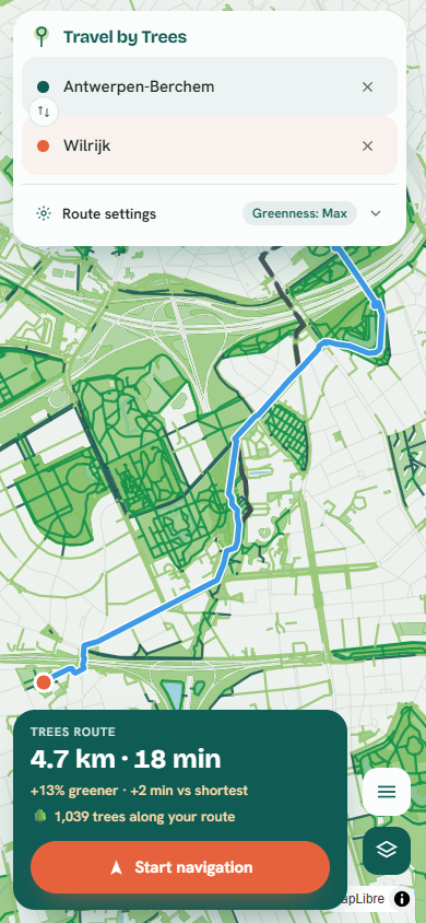
That’s a single real route across the south of the city: 13% greener than the fastest way, for two extra minutes.
You always see the minutes it adds, next to the greener number.
The green route draws in teal, the fastest route as a grey dashed line. Distance and time sit next to both, so you can pick.
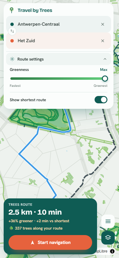
One slider, from fastest to greenest. Push it toward the trees when you have time, back toward fast when you don’t. The route updates as you move it.
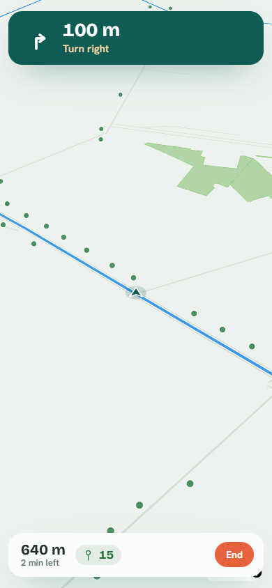
Start navigation and it keeps you on the green line, counting each tree you ride past. At the end you see the total for the trip.
Type a place, or tap the map to drop a pin. Antwerp addresses autocomplete as you go.
Distance, time, and how much greener than the fastest route, all on one card.
On a phone, start navigation and let the leafy line guide you, trees counting up as you go.
The greenery is real, street-by-street map data: parks, tree inventories, and waterways from OpenStreetMap and the city’s own green register, scored per street and routed by an open-source bicycle router. Every greener figure is measured from that data, street by street.
Type two places and get a route that prefers Antwerp’s parks and trees. About ten seconds.
Open the map